Field Notes: The show must go on August 12, 2022
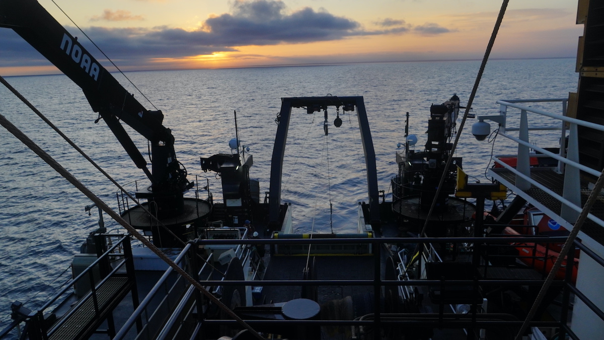
The NOAAS Bigelow steamed back to Narragansett Bay this morning in search of better connectivity to communicate with the winch manufacturer to fix the hardware problems.
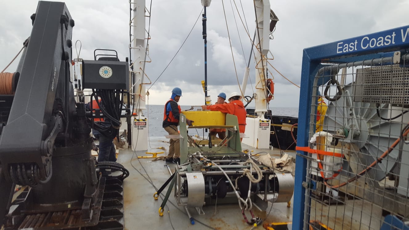
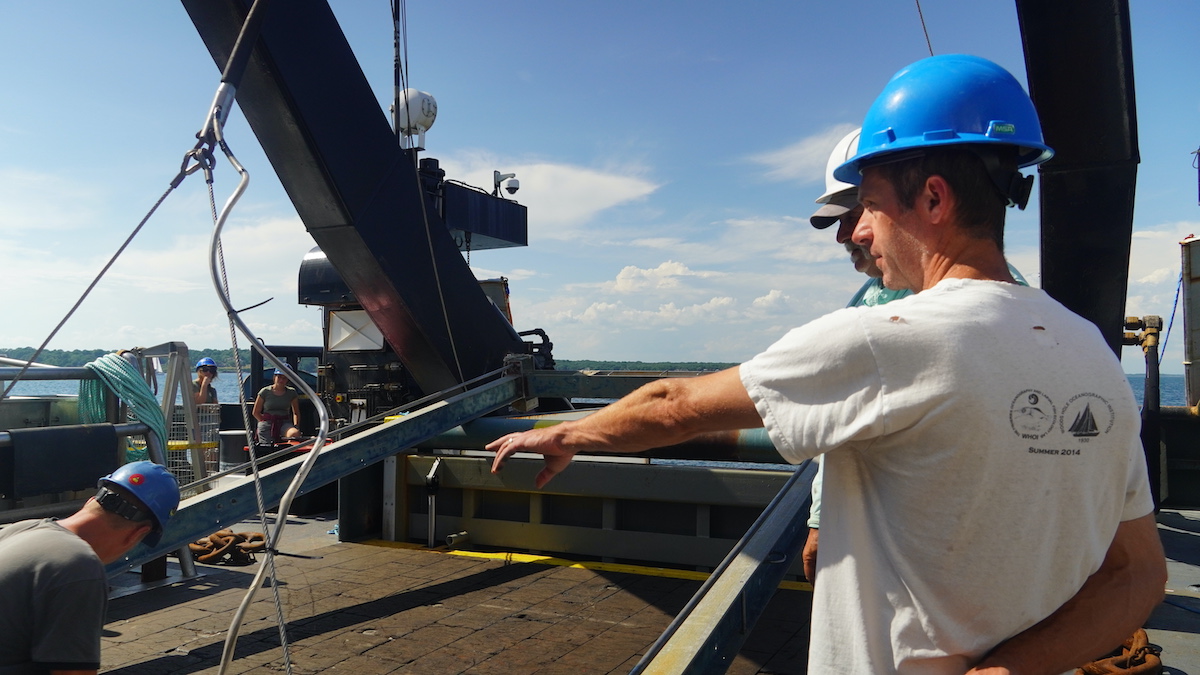
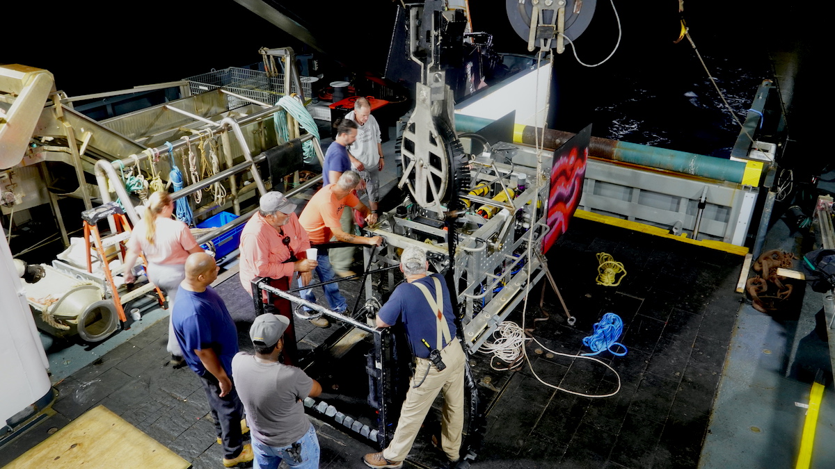
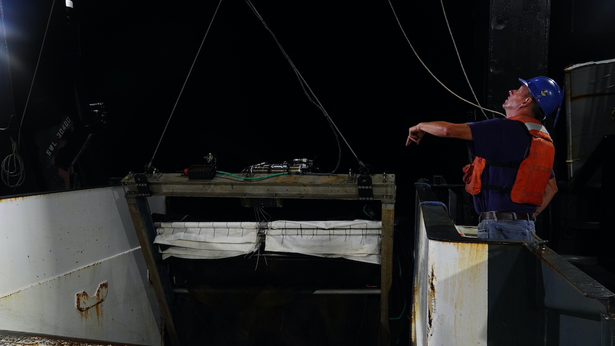
Engineers put the winch through a series of physical tests to gauge its mechanical capabilities. They replaced a solenoid, which opens and closes valves, and replaced oil that runs the hydraulic system. We then steamed further offshore, where the depth allowed engineers to attach a heavier weight to further test the winch brakes and automatic level wind.
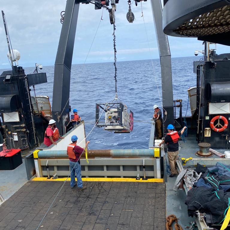
Satisfied that the winch brakes were functional, the engineers decided that winch operations could continue with a combination of automatic and manual effort. That will likely mean fewer MOCNESS tows, because those short up-and-down deployments require a lot of manual effort. Deep-See is underwater for a longer period of time, meaning less wear and tear on the crew to get it on and off the ship.
Although no explicit scientific research was conducted today, “we were fixing winches, which is a critical step towards science,” said Andone Lavery, senior scientist at WHOI.
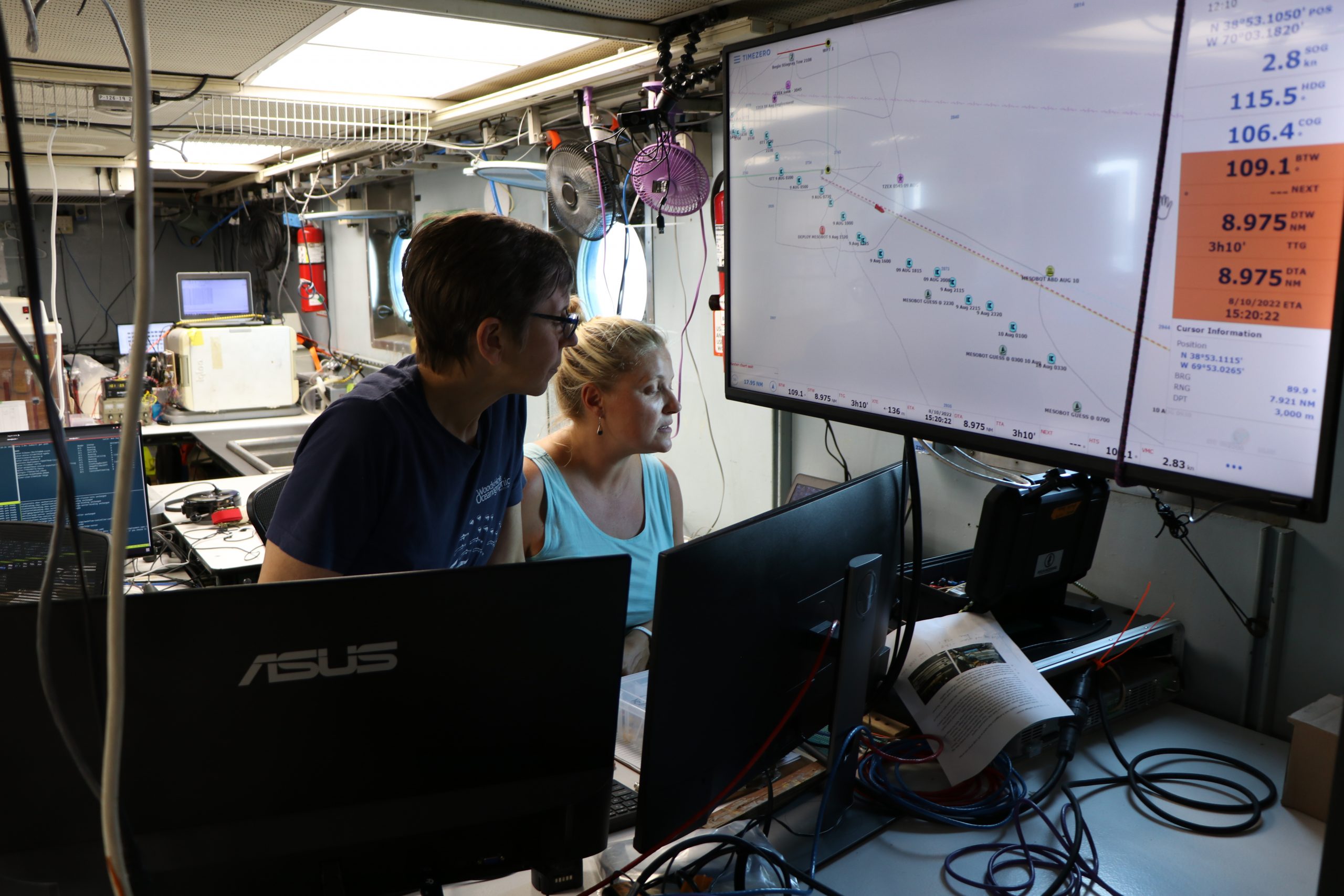
We’re now roughly two nautical miles from R/V Endeavor, where deployments continued unabated. Data has been coming in around the clock from Stingray which traverses the water column between 300-600 meters in a yo-yo pattern (scientists call it “tow-yo’ing”). Using echosounder data from the Bigelow that indicates where migration is happening, the scientists are using both Stingray and Mesobot to target these biologically-rich layers to gather oceanographic data, eDNA samples, and images to groundtruth the acoustic data.
OTZ lead scientist and biologist Heidi Sosik looks through the video stream coming in from ISIIS (In-situ Ichthyoplankton Imaging System), which captures shadowgraph images of animals that would be too small or fragile (or fast) to capture in a net. Comparing the data coming from the ship's multibeam sonar, Heidi's team is able to cross-reference the acoustic and visual data to determine what types of animals are migrating at specific points in time. (Video by Taylor Crawford © Woods Hole Oceanographic Institution)
Meanwhile, scientists aboard the fishing vessel Monica have successfully tagged two blue sharks and a number of tunas (bigeye and yellowfin), as well as swordfish. There are a number of different types of tags–biologger, camera, satellite, and ROAM tags– but send back information back to the scientists on board about the tagged fish’s location and depth. Noticing a good amount of activity between 350-425 meters during the day (dinnertime for predatory fish!), WHOI biologist Simon Thorrold’s team has alerted their colleagues with the target coordinates and Stingray and Deep-See were quickly sent to find out what the tuna were feeding on. Once scientists have retrieved the tags and crunched some data, we’ll be sure to let you know.


